
- Project Details
-
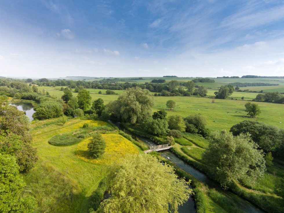
Location: Bossington estate, Houghton, Stockbridge. SO20 6LT Length: 800 metres River: Main river Test (Middle Test) Clients: Bossington Estate / Environment Agency Project sponsors: Environment Agency / Natural England Nature of Contract: Design / build / project supervision (Principle designer/Principle contractor) Installation date: 18th October to 15th December 2017
Gravel extraction site
Please use the following links below to discover more about the Bossington Test reborn project.
- ‘House beat’ – R/H branch (Bossington mill race d/s to Wallop brook confluence)
- ‘House beat’ L/H branch – (Upper reach to top boundary)
- Gravel extraction site
- ‘House beat’ L/H branch (bottom reach to confluence)
- Pipe bridge crossing – Upper ‘House Beat’
- ‘House beat’ Central
- ‘Home beat’ U/S Weir pool & Fishing hut
- ‘Home Beat’ weir structures
- ‘Home beat’ D/S Weir pool & Riffle
- Nursery side stream
- ‘Home beat’ to Bailey bridge
- Ecological monitoring
- Native planting of margins and in-stream macrophytes
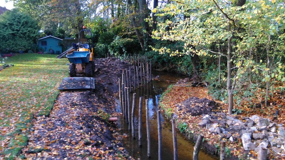
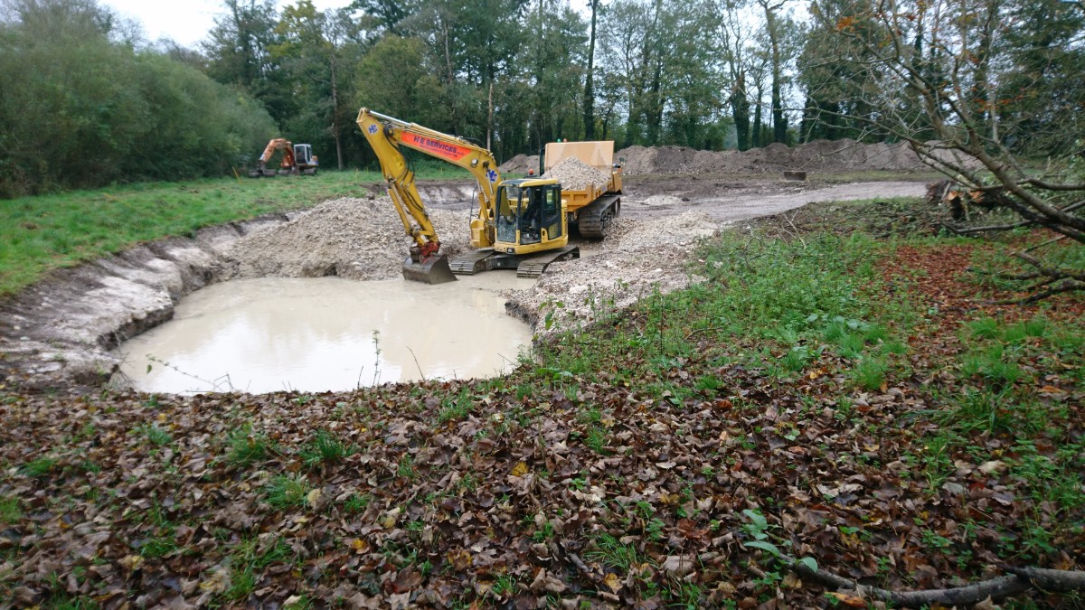
The estate extracted an estimated 5,500 tonnes of gravel from a site close to the upper and middle sections of ‘House beat’. This enabled a full-scale bed raising and channel re-meandering exercise over 800m of main river Test plus the restoration of a 200m salmonid-spawning and nursery side stream.

Photo 14 – Having access to high-quality floodplain gravel close to point of use is the holy grail of chalk stream restoration.
Before –


Photo 15 & 16 – A small parcel of gravel-bearing land adjacent to the upper and middle House beats was identified through geological mapping as the preferential site for extraction.


Photos 17 & 18 Several trial pits were dug to establish the presence and feasibility of extracting gravel.
During – The deep seam of gravel was extracted by a 13t machine sitting on the upper surface of the seam and working back over the excavated area and down to a depth of 5metres. Gravel was washed in situ and loaded onto 10 tonne dumpers for transport across temporary pipe bridges, to point of use.


Photos 19 & 20 – Gravel was located approximately 1m to 1.5m below vegetation level. The overlying top soil and sub soil layers were graded off and stored in a bund seen rear of image.


Photos 21 & 22 – The thick gravel seam was extracted using a 13t machine set back on the upper surface of the seam and working back over the excavated area and down to a depth of 5 metres. Gravel was washed in situ and loaded onto 10 tonne dumpers for transport across two temporary pipe bridges, to point of use.
After –

Photo 23 – On completion the gravel pit was sculpted into an attractive still-water floodplain feature with a shallower inter-connected marginal wetland pond favourable to amphibians and Southern Damsel fly.